Installing a new fence, shed or privacy screen seems simple, but it often raises one of the most common—and preventable—property disputes: where exactly is the boundary line?
From a civil engineer’s perspective, understanding and verifying property boundaries is essential before any construction begins. A professional boundary survey helps ensure your fence, wall, or landscaping project is accurate, compliant, and conflict-free.
Below, we answer common questions homeowners ask about boundary surveys and fencing projects.
Q1: What is a boundary survey, and why is it important before making any changes to your property?
A: A boundary survey is a professional measurement of your property lines based on legal descriptions found in deeds, plats, or recorded maps. The surveyor locates and marks the corners and boundaries of your property using precise instruments and records research.
Before building on your property, a boundary survey ensures you’re constructing entirely within your property—not encroaching on a neighbor’s land or a public easement. From a civil engineering standpoint, this protects both property value and neighborhood relationships while ensuring compliance with local ordinances.
Q2: Can’t I just use the existing fence or property pins as a guide?
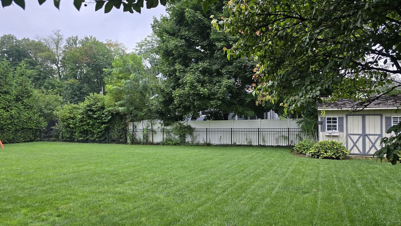
A: Not necessarily. Existing fences are often placed incorrectly due to informal installation or unclear property lines. Also, depending on the ordinance requirement in the town, fences may be required to be set in from the property line and not on the line. Specifically, in Wyckoff, the fence needs to be 6 inches inside the property line. Old property pins may be missing, moved, or buried, and relying on them without verification can lead to disputes later.
A certified survey replaces guesswork with accuracy. The surveyor confirms the true legal boundary based on recorded deeds and ensures all physical markers match the legal record.
Q3: What types of surveys are relevant for home development?
A: The two most common survey types are:
- Boundary Survey: Establishes the exact property lines and corners.
- Topographic Survey: Maps the elevation and surface features; useful for designing fences, pools, additions, patios, or any other improvements on your property on sloped terrain or near drainage areas.
In some cases, a lot line adjustment or easement survey may also be needed if your property boundaries have changed over time or are affected by utility or access easements.
Q4: How do zoning and setback regulations affect my home development?
A: Local zoning ordinances often dictate height, materials and setback distances from property lines, sidewalks, or streets. Some areas restrict fencing, sheds or decks near intersections for visibility or along drainage easements for maintenance access. Also, specifically, in Wyckoff, depending on the size of the shed impacts the setback requirements.
A civil engineer can interpret these requirements, coordinate with local permitting offices, and help ensure your fence location complies with municipal codes and subdivision covenants.
Q5: How can a civil engineer help with drainage and grading?
A: Additions to your yard such as decks and patios can unintentionally block natural drainage or redirect runoff, causing water to pool or erode soil. Engineers consider the site’s grading, swales, and stormwater patterns when planning your property development.
Simple adjustments—like minor regrading, small culverts, or gaps can maintain proper flow and prevent long-term water problems between neighboring lots.
Q6: What if my neighbor disagrees about the boundary or my future development?
A: When disputes arise, a certified survey plat becomes the objective reference point. Civil engineers and surveyors rely on legal property records, monumentation, and coordinate data to clarify ownership limits.
It’s best to share the survey results with your neighbor before renovations. Transparent communication, backed by professional documentation, often resolves concerns before they escalate.
Q7: How much does a boundary survey typically cost, and how long does it take?
A: Costs vary depending on lot size, terrain, vegetation, and record complexity. In most residential areas, boundary surveys range from $850 to $2,000, with turnaround times from a few days to a couple of weeks.
More complex or rural properties may take longer if previous survey data are incomplete or conflicting.
Q8: When should I contact a civil engineer versus a land surveyor?
A: A licensed land surveyor performs the actual boundary determination and marking. A civil engineer becomes involved when the project includes site grading, drainage improvements, retaining walls, or permitting coordination.
In many projects, engineers and surveyors work together to provide a seamless process from boundary verification through design and construction.
At Omland & Osterkorn, Inc, I am licensed in both civil engineering and land surveying!
Final Thoughts
Property development projects enhance comfort and security, but they must start with accurate boundary information. A professional boundary survey, guided by civil engineering insight, ensures your project is compliant, durable, and neighbor-friendly.
Taking the time to confirm your property lines protects your investment and prevents the kinds of disputes that can last a long time.
Have a question about surveys? I’m happy to help guide you through the process. Reach out to:
Omland & Osterkorn Inc.
42 Central Ave
Midland Park
973-647-7820


.jpg)